BC's Largest Gulf Island — Where to Find It & How to Arrive
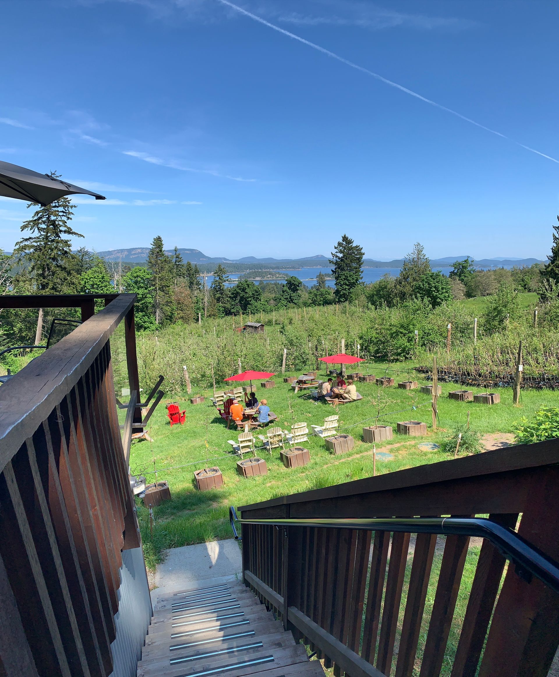
Imagine a spot halfway between mainland Vancouver's skyscrapers and Victoria's historic streets on Vancouver Island. Nestled within the sheltered Salish Sea, Salt Spring Island, British Columbia, Canada, reigns as the largest and most populated of the Southern Gulf Islands. If you're wondering where is Salt Spring Island BC, it's situated squarely between the Lower Mainland and Vancouver Island in coastal British Columbia.
Meteorological records show this cultural capital sits in a protective "rain shadow" cast by Vancouver Island's mountains. This natural barrier keeps the region significantly drier and sunnier than the surrounding coastal rainforests. This Mediterranean-like escape in Salt Spring, BC, Canada, awaits you, right where the city ends and the wild islands begin. Many people start their trip planning with queries like "where is Salt Spring Island"--- now you know exactly where to look on the map.
Navigating the Salish Sea: The Macro-Geography of Salt Spring
Located between the British Columbia mainland and Vancouver Island lies an archipelago --- a tight cluster of green jewels floating in the ocean. Salt Spring is the largest of the chain, stretching roughly the size of Manhattan but proudly trading concrete canyons for winding, forested coastlines. For anyone asking "Where is Salt Spring Island in Canada?", it sits in the Salish Sea as part of the Southern Gulf Islands.
On any local map -- or a Saltspring Island map - you'll see it serves as the anchor of the Southern Gulf Islands.
This specific grouping sits in a protected, sunny rain shadow, making it entirely distinct from the colder, more remote northern islands further up the coast. It connects to nearby urban centers through an interlocking marine network known locally as the Triangle Route, a fixture of travel around Salt Spring, British Columbia.
Finding Salt Spring involves navigating distances from three marine gateways. Since no bridges exist, ferries handle the crossings:
- Crofton (Vancouver Island): 3 nautical miles (20-minute travel time)
- Swartz Bay (Victoria): 5 nautical miles (35-minute travel time)
- Tsawwassen (Vancouver): 20 nautical miles (90-minute travel time)
Solving the Ferry Puzzle: How to Get to Salt Spring from the Mainland and Victoria
Traveling to Salt Spring Island, BC, from Vancouver requires navigating the Tsawwassen terminal. Booking a vehicle reservation ahead of time is essential for this popular mainland route. Once booked you get to enjoy the journey as a cruise of the coast, with the direct travel time from Tsawwassen to Long Harbour taking roughly 90 minutes of scenic ocean travel. These sailings are the primary answer to getting to Salt Spring Island Canada without flying.
Unlike smaller destinations in the Salish Sea, Salt Spring has three (!) distinct entry points depending on your origin. Planning for the correct dock means familiarizing yourself with these specific BC Ferries routes:
- Long Harbour: Receives the larger, reservable vessels directly from Vancouver.
- Fulford Harbour: Connects to Victoria via a frequent, 35-minute crossing.
- Vesuvius: Links to central Vancouver Island, acting as a quick, unreserved shuttle.
If your itinerary involves hopping between other Gulf Islands before arriving, you can request a through-fare ticket at your first toll booth, allowing you to pay once and transfer seamlessly between inter-island routes. In schedules and maps you may see the destination written as Salt Spring Island BC or simply Salt Spring British Columbia.
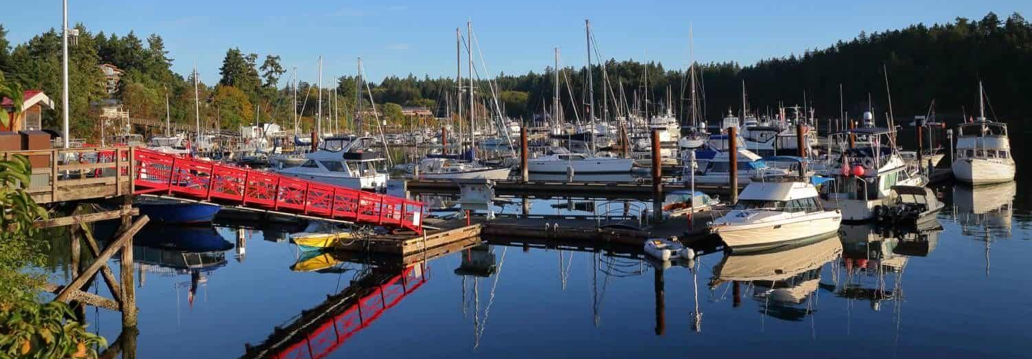
Taking to the Skies: Reaching Ganges Harbour via Floatplane
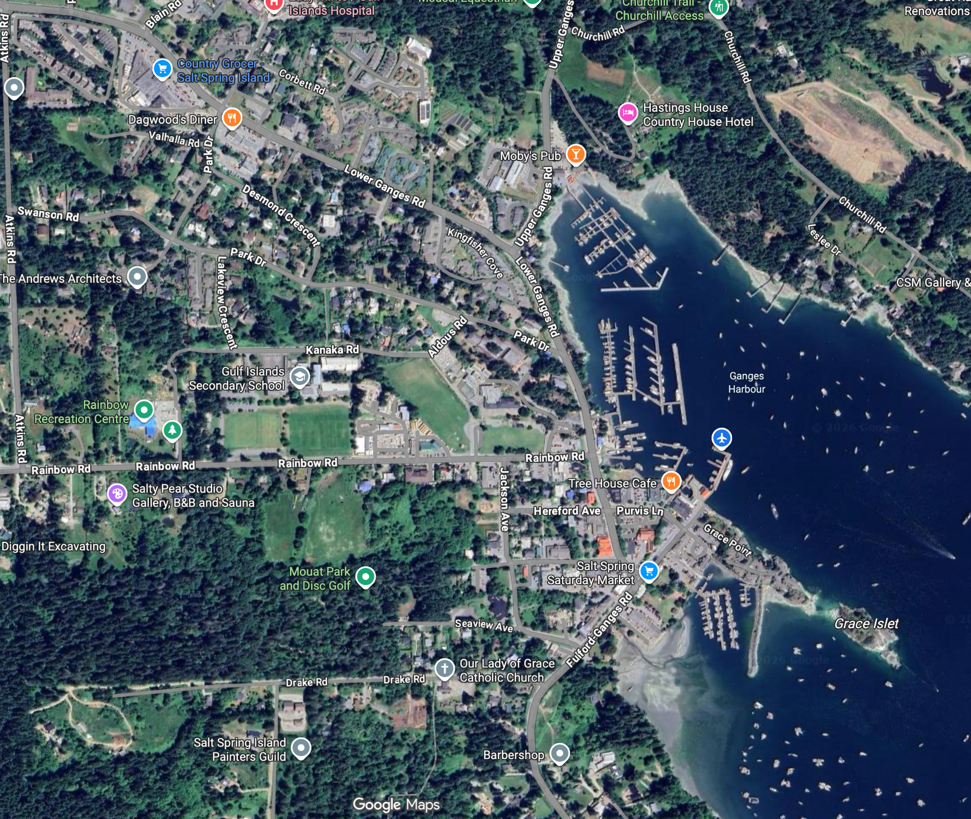
Finding the Heart: A Map of Salt Spring's Hubs and High Points
Stepping off the dock, you are immediately immersed in the island's primary cultural center. Familiarity with the interior geography unlocks everything from local crafts to wilderness escapes. Looking at a map, you will notice a few vital destinations anchoring the rugged, forested landscape.
Focus your internal compass on these top three geographic landmarks:
- Ganges Village: The island's bustling hub, where you can easily navigate to the famous Saturday Market, seaside cafes, and vibrant artisan shops.
- Mount Maxwell Provincial Park Viewpoint: Rising steeply inland, this dramatic peak offers the absolute best panoramic views of the entire Salish Sea and its neighboring islands.
- Ruckle Provincial Park: Located on the southeastern shore, this area blends accessible hiking trails and coastal camping with a beautifully preserved historic family farm.
Before you go, download a Salt Spring Island map (or a quick "Salt Spring map BC") for offline use. Knowing where these central hubs and high points sit gives you a massive advantage before you even pack your bags. Whether you want to browse seaside galleries or explore coastal forests, a clear mental layout maximizes your getaway.
Mapping Your Arrival: 3 Steps to Plan Your Salt Spring Escape
You can now confidently pinpoint this sanctuary and chart your actual journey.
Start your three-step itinerary by:
- Choosing your departure hub - Vancouver or Victoria - to define your timeline and budget. Next,
- Secure ferry reservations well in advance to avoid the common pitfall of terminal delays. Finally,
- Transition from researching to arriving by preparing for a much slower, relaxed coastal pace.
Locating Salt Spring, BC, is just your first step. You no longer see a vague Pacific destination, but a warm, accessible escape tucked securely into the Salish Sea. As you finalize your travel plans, you will realize this peaceful green jewel is entirely within your reach.
Q&A
Question: Where is Salt Spring Island, BC located?
Short answer: Salt Spring Island sits in the Salish Sea between mainland British Columbia (the Lower Mainland/Vancouver) and Vancouver Island. It’s the largest and most populated of the Southern Gulf Islands and lies in a protective “rain shadow” of Vancouver Island’s mountains—making it drier and sunnier than much of the surrounding coast.
Question: How do I get to Salt Spring Island by ferry from Vancouver, Victoria, or central Vancouver Island?
Short answer: There are no bridges, so ferries are the standard way in. Three entry points serve different origins:
- From Vancouver (Tsawwassen) to Long Harbour: about 90 minutes on larger, reservable sailings.
- From Victoria (Swartz Bay) to Fulford Harbour: about 35 minutes with frequent service.
- From Crofton (central Vancouver Island) to Vesuvius: about 20 minutes on a quick, unreserved shuttle.
These routes form part of an interlocking “Triangle Route” that connects Salt Spring with nearby islands and hubs.
Question: Do I need a ferry reservation, and what is a through-fare?
Short answer: If you’re driving from Vancouver via Tsawwassen, book a vehicle reservation weeks in advance to avoid multi-sailing waits. Long Harbour sailings are reservable; Fulford Harbour (from Swartz Bay) runs frequently; Vesuvius (from Crofton) is unreserved and quick. If you’re visiting other Gulf Islands en route, ask for a through-fare at your first toll booth — you’ll pay once and transfer seamlessly between inter-island routes.
Question: Can I fly to Salt Spring Island instead of taking the ferry?
Short answer: Yes—floatplanes land in Ganges Harbour. Flights depart from downtown Vancouver’s Coal Harbour or YVR South and take about 35 minutes. Expect strict baggage weight limits (pack light), but you’ll trade hours of travel for a direct dock-to-downtown arrival in the island’s main village.
Question: Which places should I pin on my Salt Spring Island map?
Short answer: Start with:
- Ganges Village: the cultural hub with the Saturday Market, cafes, and artisan shops.
- Mount Maxwell Provincial Park (viewpoint): the top spot for sweeping Salish Sea panoramas.
- Ruckle Provincial Park: southeast coast trails, camping, and a preserved historic farm. Download an offline “Salt Spring Island map” (also searchable as “Saltspring Island”) before you go; naming variations like “Salt Spring Island BC Canada” or even “Salt Springs Canada” all point to the same destination.